AIRPORT WAYFINDER
Indoor directions for six real airports
MapLibre · 3D floors · A* routing
(Overview)
Sat nav for the inside of an airport.
Pick where you are and where you’re going: a check-in desk, a gate, a coffee. The wayfinder plans the walk across floors, through security and onto the airside trains, then talks you through it one step at a time, naming the landmarks you’ll pass.
It runs on the real indoor map data behind six airports’ own maps: London Stansted, Manchester, Dallas Fort Worth, Los Angeles, Chicago O’Hare and Seattle-Tacoma. It works on a phone, a desktop or a big touch-screen kiosk. That data isn’t mine to publish, so it’s shown here as a film.
(What you can do)
- ⌕Search for a gate, a brand or a type of place, typos and all
- →Step through the route, with the map following each turn
- 3DTilt into 3D, or pull the floors apart to see the whole trip
- ♿Go step-free: no stairs or escalators, lifts only
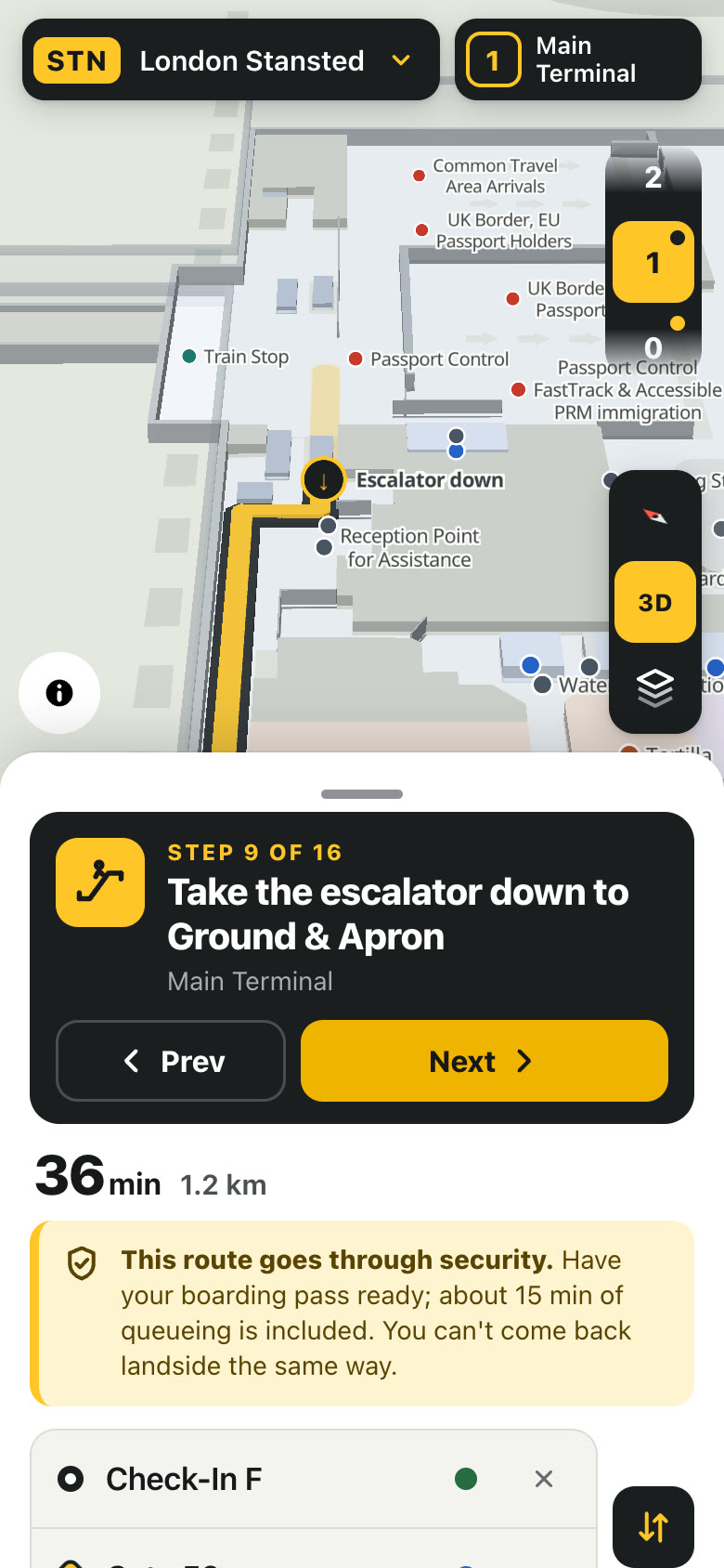
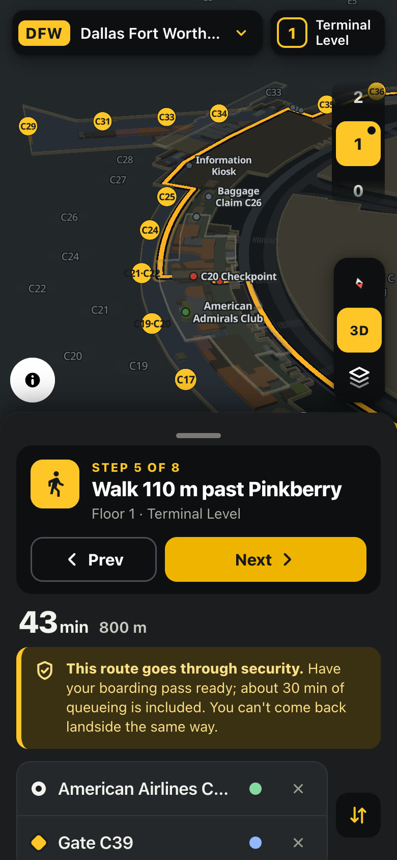
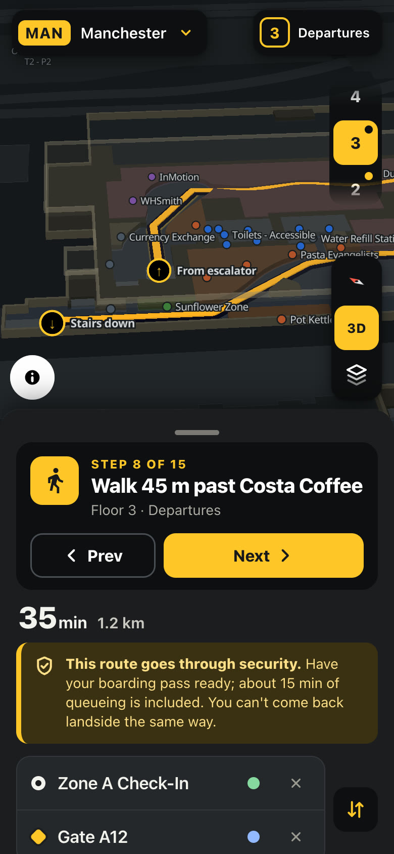
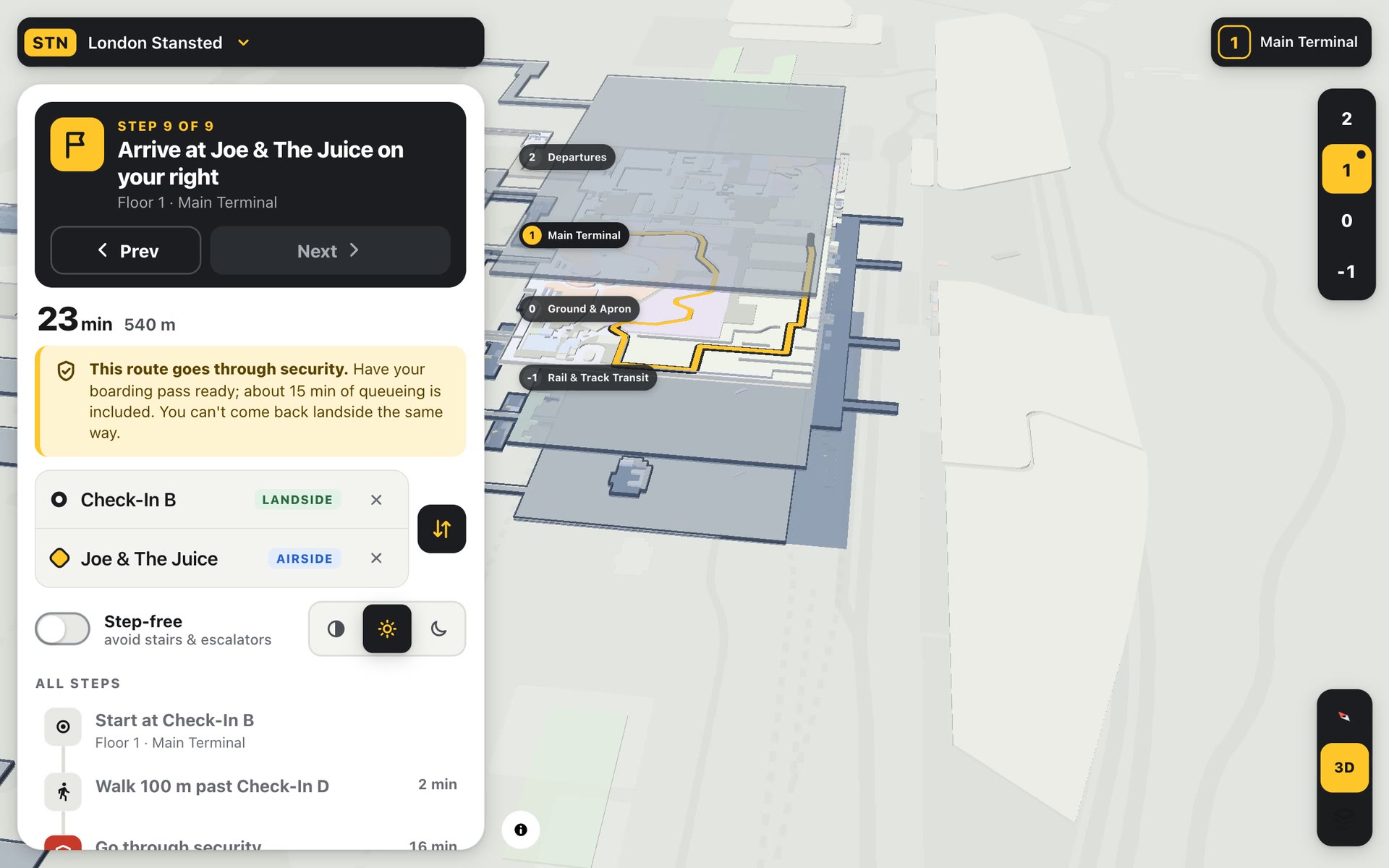
Real buildings, not mock-ups
Each airport comes as floor plans, a list of every shop, gate and loo, and a graph of the walkways that join them. A build step turns that into small files the browser can load floor by floor. There are no map tiles and no API keys: the terminal itself is the map.
Security is the hard part
The quickest line between two points in an airport is usually illegal. The router knows which side of security every spot is on, so a route to the gate always goes through screening, a route back out goes through passport control, and moving between Dallas’s terminals rides the Skylink without being screened twice. Queue times are counted in the estimate.
Made for a big screen too
The same app runs as a kiosk: pinch, twist and tilt the 3D terminal with two fingers, pull the floors apart, and it resets itself when people walk away. Then it went through a full QA round across every airport, screen size and theme: 68 issues found, all the serious ones fixed.